1861 "The Empire State" Wall Map by Ensign, Bridgman & Fanning
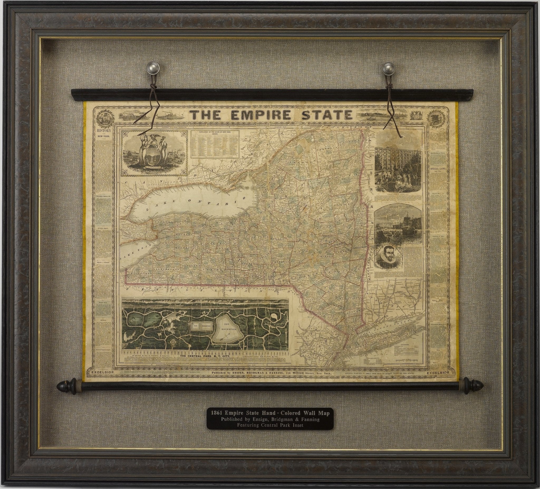
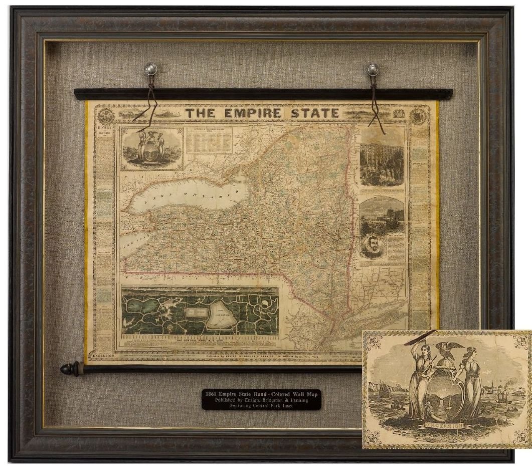
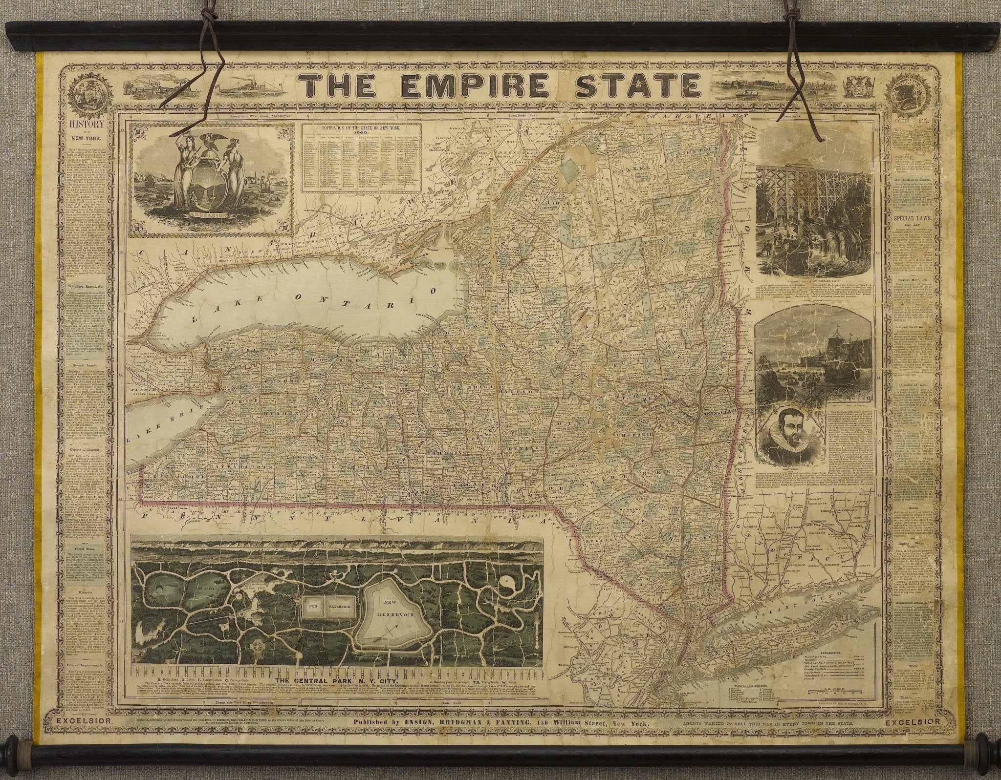
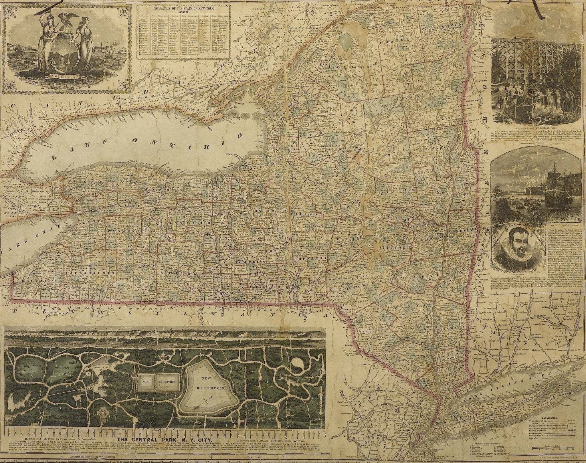
This large and decorative wall map of New York, titled "The Empire State," was published by Ensign, Bridgman & Fanning. The map was published in 1861, the first year of the Civil War. The map is hand colored, with state and county outlines. The bordering states of New Jersey, Connecticut, Massachusetts, and Vermont are not colored.
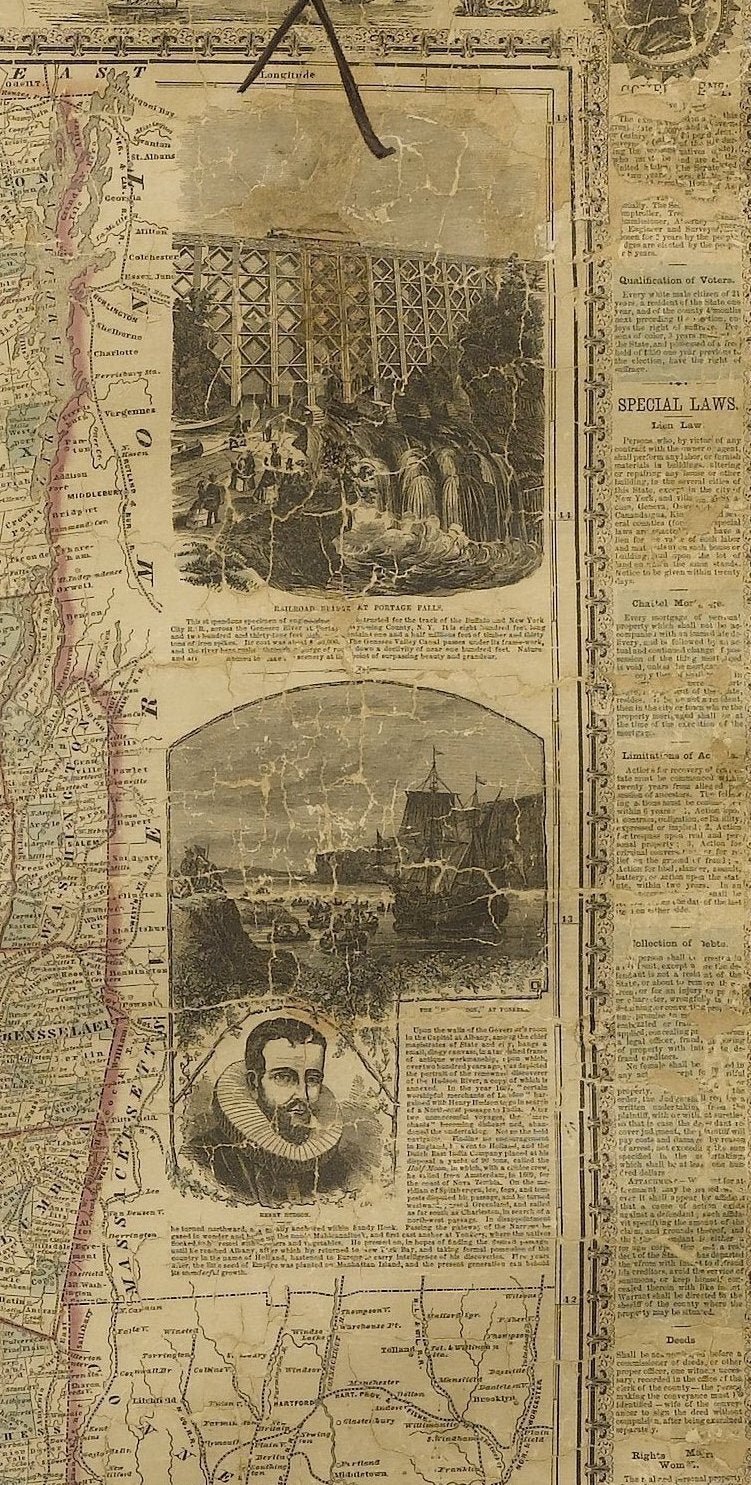
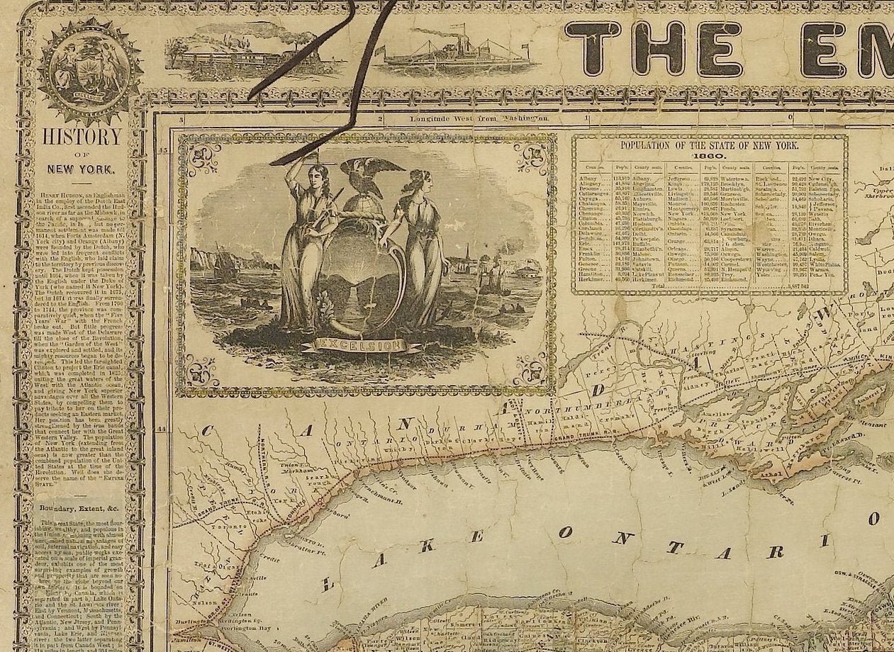
The elaborate surrounding decorative border gives a snapshot of the state and it's history during the mid 19th century. The left column provides text pertaining to New York state history, boundary lines, geology, and forestry. On the right, a column of text explains the state's current laws, including voting procedures divided by race, rights of men and married women in the state, the procedures for the collection of debts, wills, and deeds, as well as homestead exemptions. Vignettes of Henry Hudson, Portage Falls, and statistics from the 1860 census also populate the map.
At upper right is an inset with an artistic rendering of the New York State seal. Allegorical representation of Lady Liberty and Justice support a shield as an American eagle spreads its wings above a globe. A banner rests at their feet and states the New York State motto, "Excelsior," which is Latin for "Ever Upward". "Excelsior" is also printed at the bottom left and right corners of the map.
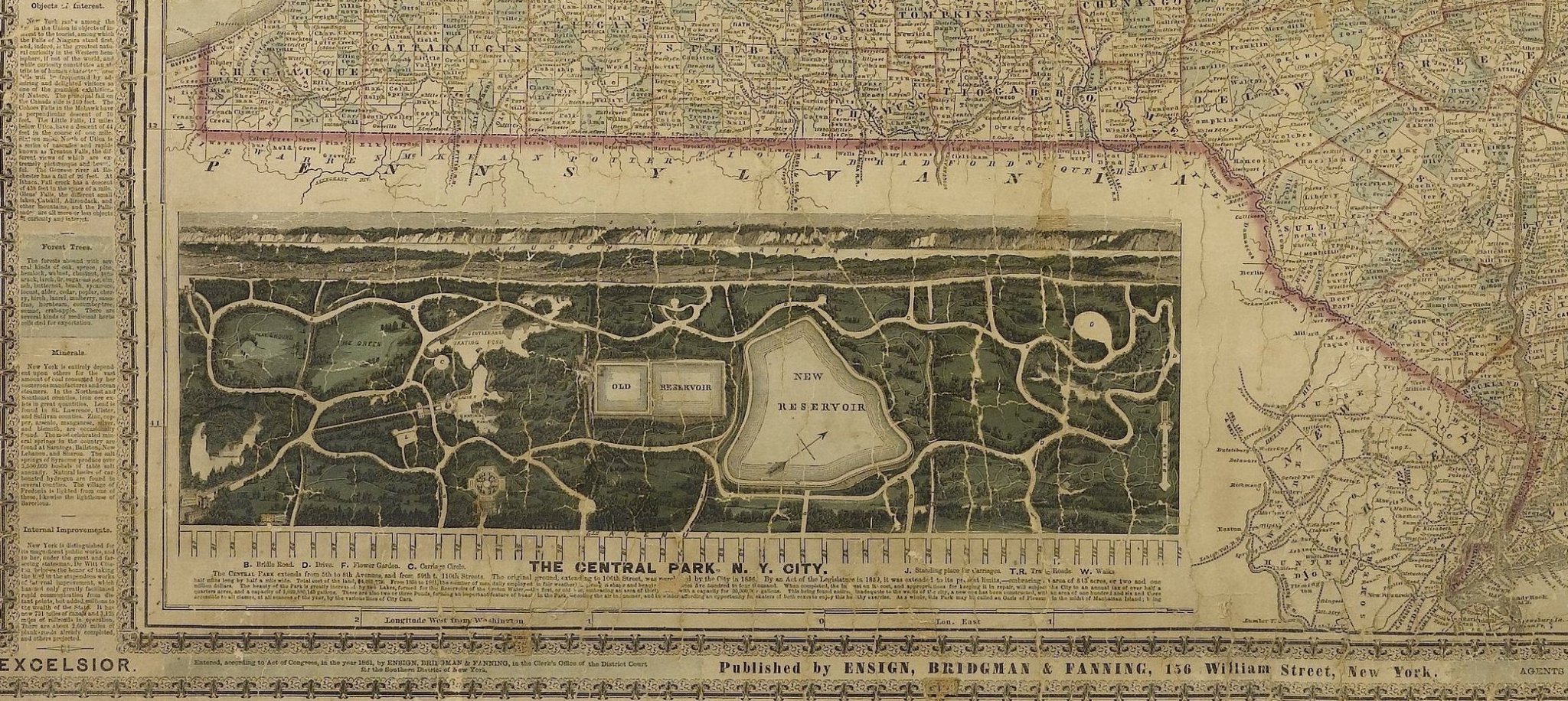
Of note is a large and detailed birds eye view of Central Park in New York City inset at bottom. Central Park was first approved in 1853 as a 778-acre park. In 1857, landscape architects Frederick Law Olmstead and Calvert Vaux won a competition to construct the park with their plan, originally titled the "Greensward Plan". Construction began the same year, and the park's first areas were opened to the public in late 1858. Additional land at the northern end of Central Park was purchased in 1859; the beginning of that expansion can be seen in this view.
CONDITION:
This linen-backed map, displays some age and wear indications, including light cracking, minor chipping, and toning throughout. Map has been archivally stabilized. Color is good. Map measures approximately 27 3/4" H x 34 1/2" W.
The map is presented on its original rollers, mounted archivally in a custom-built black and gold frame. Framed dimensions: 43" H x 48" W x 4 1/2"D.
Accompanied by our company's letter of authenticity.
Pickup available at Colorado
Usually ready in 4 hours

1861 "The Empire State" Wall Map by Ensign, Bridgman & Fanning
Colorado
1 Lake Avenue
Colorado Springs CO 80906
United States
Choose options


Frequently Asked Questions
FAQs
Yes, all of our Antiques are certified authentic. Every antique comes with a signed Letter of Authenticity that details the item’s history, its current condition including any conservation, binding, or framing work, and the item’s provenance. The Letters of Authenticity are priced valuations by our authentication specialists, who assure that items are original and unconditionally guaranteed as genuine for life.
We pack and ship your items from our gallery in Colorado Springs. You may also choose to come pick up your order. Antique items are carefully packed and insured during shipping. The shipping price will be calculated at checkout.
We acquire from a variety of trusted sources all over the world, but mostly through auctions and private collections within the United States. All provenance information will be listed on the Letter of
Authenticity accompanying your purchase.

