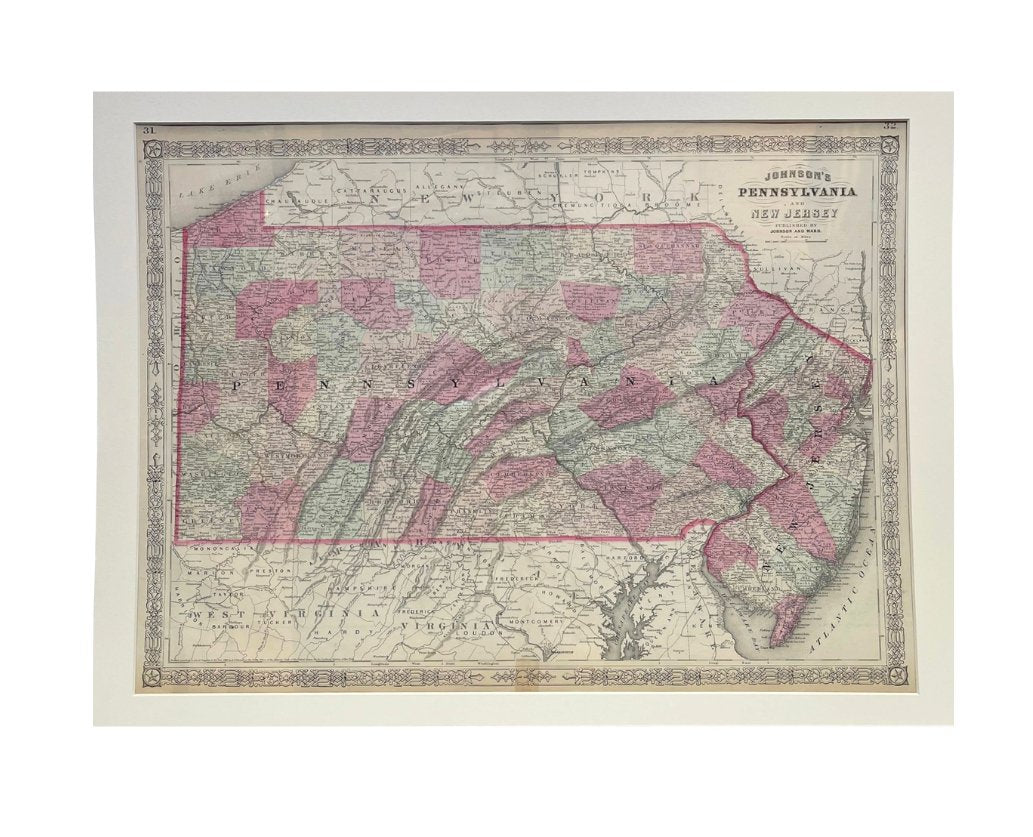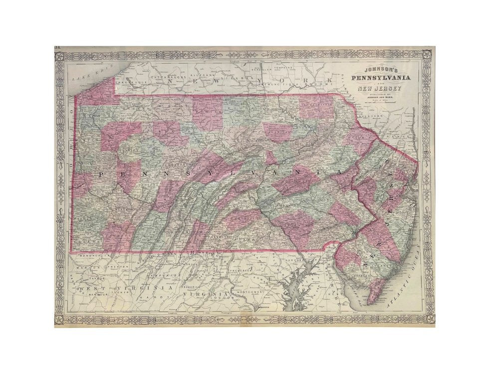

1865 "Johnson's Pennsylvania and New Jersey" Map by Johnson and Ward
Presented is an original 1865 "Johnson's Pennsylvania and New Jersey” map. This map was first published in 1864, but is seen here as page 31 and 32 in the 1865 edition of “Johnson's New Illustrated (Steel Plate) Family Atlas.” The map is engraved, with attractive hand coloring and a decorative strapwork border. The states of Pennsylvania and New Jersey are colored by county. The bordering states of New York, Virginia, West Virginia, Maryland, Delaware are not colored. The map is beautifully detailed, with rivers, railroads, roads, towns, and important geographical markers all identified. The map depicts the Atlantic Ocean, Delaware Bay, and Lake Erie.
This 1865 Johnson and Ward publication of “Johnson's New Illustrated (Steel Plate) Family Atlas” was written by Richard Swainson Fisher, M.D. Fisher was also the author of "Colton's General Atlas of the World," "The Gazetteer of the United States," and a past editor of the Journal of American Geographical and Statistical Society. The publishing company of Johnson and Ward was a successor to Johnson and Browning, themselves a successor to the famous publishing company, J. H. Colton and Company. A combination of both new plates and older, updated ones, all of the maps in this atlas were compiled, drawn, and engraved under the supervision of J. H. Colton and A. J. Johnson. The new plates, copyrighted by A.J. Johnson, were made exclusively for Johnson's New Illustrated Family Atlas. Others are the same as used in "Colton's General Atlas."
This early 1865 issued atlas offered a really unique and timely snapshot of the United States just after the Civil War. In addition to the maps, the atlas had several pages of American history, recent federal census data, and geographical and statistical notes.The highlight was its “Chronological History of the Civil War in America” with battle records and dates. It also contained updates on the assassination of Abraham Lincoln and subsequent pursuit and death of John Wilkes Booth and included two Civil War-era maps, one of the “Vicinity of Richmond and Peninsular Campaign in Virginia” and the “New Military Map of the United States.”
CONDITION:
Good condition overall. Hand Colored. Page 31 and 32 from “Johnson's New Illustrated (Steel Plate) Family Atlas.” Strapwork border. Railroads marked. Colored by county in Pennsylvania and New Jersey, uncolored for bordering states of New York, Virginia, West Virginia, Maryland, Delaware. Toning to paper, more noticeable on margins. Small foxing spots. Tape (aged) to bottom margin at fold line. Copyright at bottom left border: "Entered according to Act of Congress in the Year 1864 by A. J. Johnson in the Clerk's Office of the District Court of the United States for the Southern District of New York." Archivally presented with acid-free mats. Sold unframed, as-is.
Mat Dimensions: 20" H x 27" W.
Accompanied by our company's letter of authenticity.
Pickup available at Colorado
Usually ready in 4 hours

1865 "Johnson's Pennsylvania and New Jersey" Map by Johnson and Ward
Colorado
1 Lake Avenue
Colorado Springs CO 80906
United States
Choose options


Frequently Asked Questions
FAQs
Yes, all of our Antiques are certified authentic. Every antique comes with a signed Letter of Authenticity that details the item’s history, its current condition including any conservation, binding, or framing work, and the item’s provenance. The Letters of Authenticity are priced valuations by our authentication specialists, who assure that items are original and unconditionally guaranteed as genuine for life.
We pack and ship your items from our gallery in Colorado Springs. You may also choose to come pick up your order. Antique items are carefully packed and insured during shipping. The shipping price will be calculated at checkout.
We acquire from a variety of trusted sources all over the world, but mostly through auctions and private collections within the United States. All provenance information will be listed on the Letter of
Authenticity accompanying your purchase.

