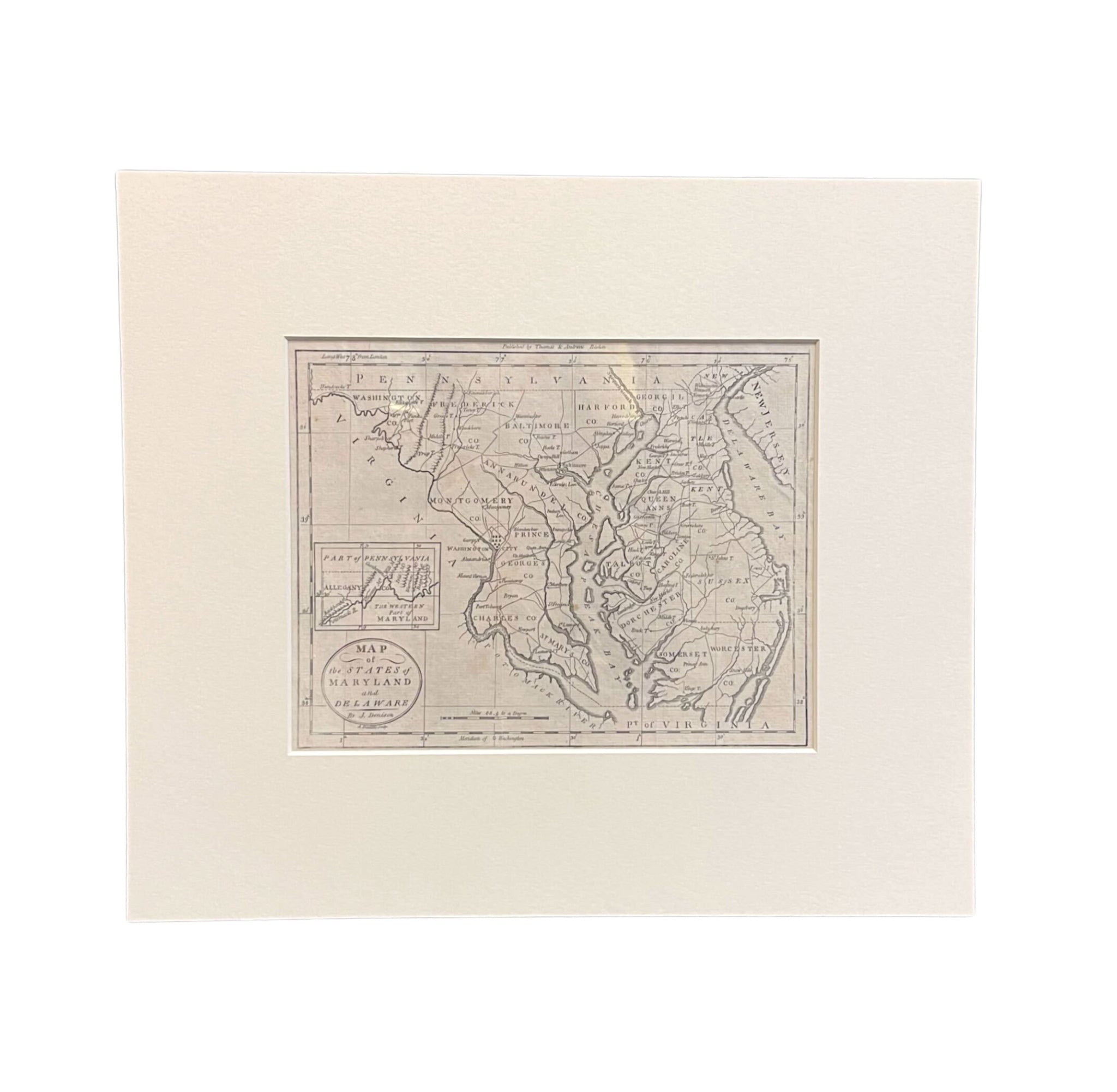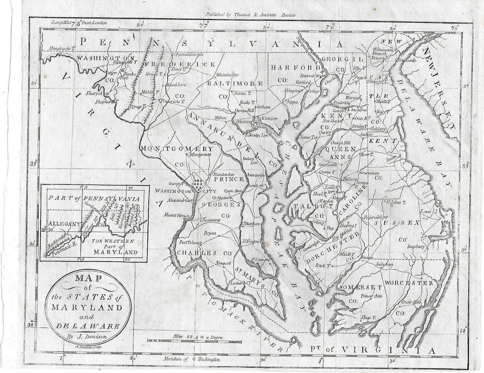

"Map of the States of Maryland and Delaware" By J. Denison, Published by Thomas & Andrews, Circa 1796
Presented is J. Denison's “Map of the States of Maryland and Delaware.” The map was engraved by Amos Doolittle and published in Boston by Thomas & Andrews, circa 1796. The beautifully detailed map shows the borders of Virginia, Maryland, Pennsylvania, and New Jersey. The Chesapeake Bay (here spelled Chesapeak) is featured prominently along with the Potomac River ( spelled Potomack). An inset map is featured at left showing part of Pennsylvania bordered by the western part of Maryland.
This map first appeared in Morses' The American Universal Geography, one of the earliest American-published atlases. The map shows early roads, townships, rivers, and more, and provides a fantastic insight into the bustling mid-Atlantic states in the Federalist era.
CONDITION:
Overall very good condition. Detailed engraving with light foxing throughout and some minor fold lines. Dimensions: 7 3/8" H x 9 1/2" W (image only). Archivally presented with acid-free mats. Sold unframed, as-is.
Mat Dimensions: 13 3/4" H x 15 3/4" W.
Accompanied by our company's letter of authenticity.
Pickup available at Colorado
Usually ready in 4 hours

"Map of the States of Maryland and Delaware" By J. Denison, Published by Thomas & Andrews, Circa 1796
Colorado
1 Lake Avenue
Colorado Springs CO 80906
United States
Choose options


Frequently Asked Questions
FAQs
Yes, all of our Antiques are certified authentic. Every antique comes with a signed Letter of Authenticity that details the item’s history, its current condition including any conservation, binding, or framing work, and the item’s provenance. The Letters of Authenticity are priced valuations by our authentication specialists, who assure that items are original and unconditionally guaranteed as genuine for life.
We pack and ship your items from our gallery in Colorado Springs. You may also choose to come pick up your order. Antique items are carefully packed and insured during shipping. The shipping price will be calculated at checkout.
We acquire from a variety of trusted sources all over the world, but mostly through auctions and private collections within the United States. All provenance information will be listed on the Letter of
Authenticity accompanying your purchase.

